Portfolio item page

Project Details
Client: Lee County Department of Natural Resources
Date: 2013
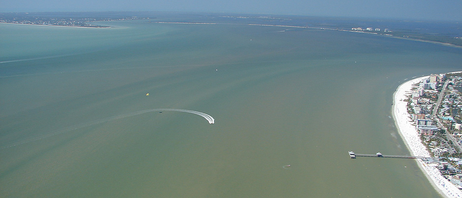
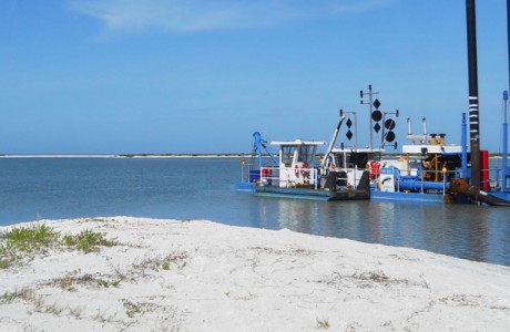
Physical monitoring surveys are conducted to provide comprehensive analyses of changes in nearshore morphology and typically involve the merging of upland, wading and hydrographic data sets. Physical monitoring is particularly useful when conducted to evaluate the effects of beach renourishment events or determining their performance over time. Coastal Engineering Consultants, Inc. (CEC) has extensive experience performing physical monitoring surveys, which are typically performed as pre- and post-construction requirements for our many beach nourishment projects.
This project required the collection of bathymetric and topographic survey profiles along approximately 20 FDEP reference monuments in San Carlos Bay and along the newly renourished Fort Myers Beach. All work was performed and reported in accordance with the FDEP Monitoring Standards for Beach Erosion Control Projects. CEC combined boat, wading and upland data along the required monitoring lines, utilizing quality assurance methods including manual tide checks, historical overlap comparisons, and data overlap to ensure survey accuracies. Deliverables included a report certifying that the survey meets the FDEP Technical Standards and Florida minimum technical standards, Chapter 61G17-6, Florida Administrative Code.
Related Projects
Hideaway Beach Erosion Control Project
Coastal / Environmental / Survey
FEMA Flood Zone Mapping
Survey
Pirate Harbor Hard-bottom Monitoring
Environmental / Survey
Lee County Waterways Surveys
Survey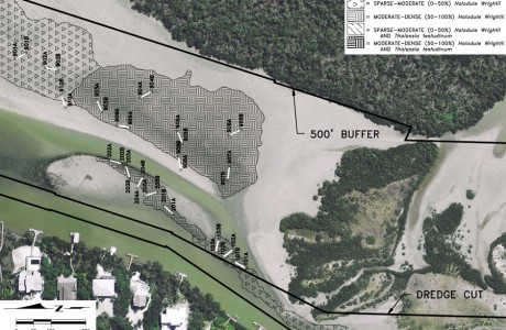
Blind Pass Seagrass Monitoring
Environmental / Survey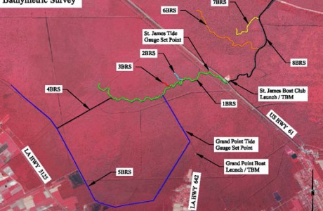
Blind River Freshwater Diversion
Ecosystem Restoration / Survey
Comments are closed.